Road Trip – Second Leg!
This was the part of the journey I had been looking forward to ever since we planned the trip. I got up early Wednesday morning and headed north. After driving through so much rain the day before, I didn’t know what to expect. When I saw a sign that said 4 miles to the Blue Ridge Parkway (BRP), my heart began to race a bit. As I began the accent up to the entrance, the clear sky began to recede behind me and I could immediately tell that I was heading into the clouds. My ears popping several times confirmed that I was rapidly gaining altitude almost as quickly as a plane on take off.

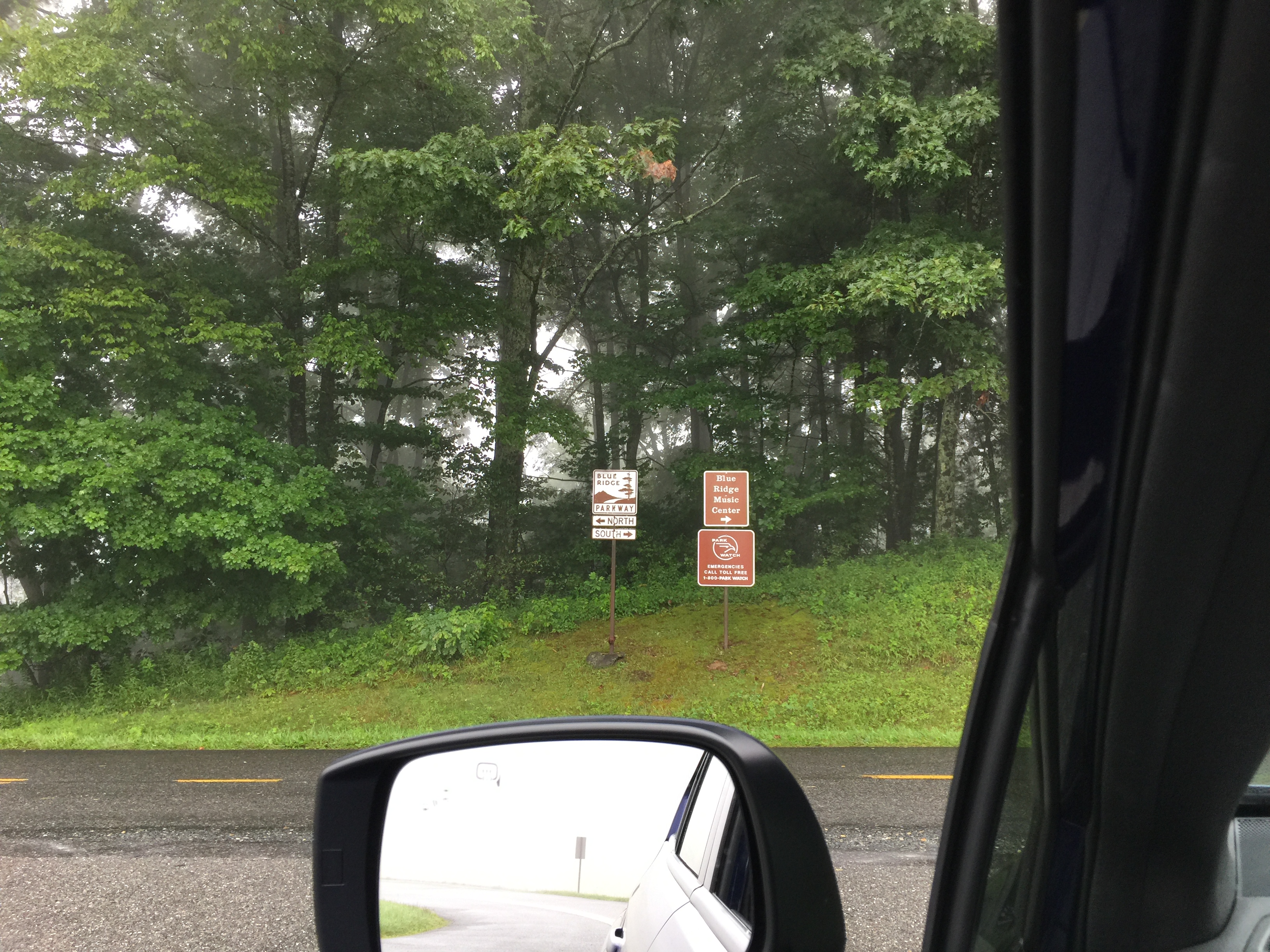
When I turned into the entrance and saw the familiar signs, I could see that I was very much in cloud cover. My first thought was hopefully I would gain enough elevation to eventually get above the clouds.
I came into the parkway right at mile marker 200 and a mileage sign just beyond proclaimed Asheville was 188 miles distant, my destination for the day. Just as I had hoped, I would get to drive almost 200 of BRP’s scenic 469 miles. Not bad for a one day trip.
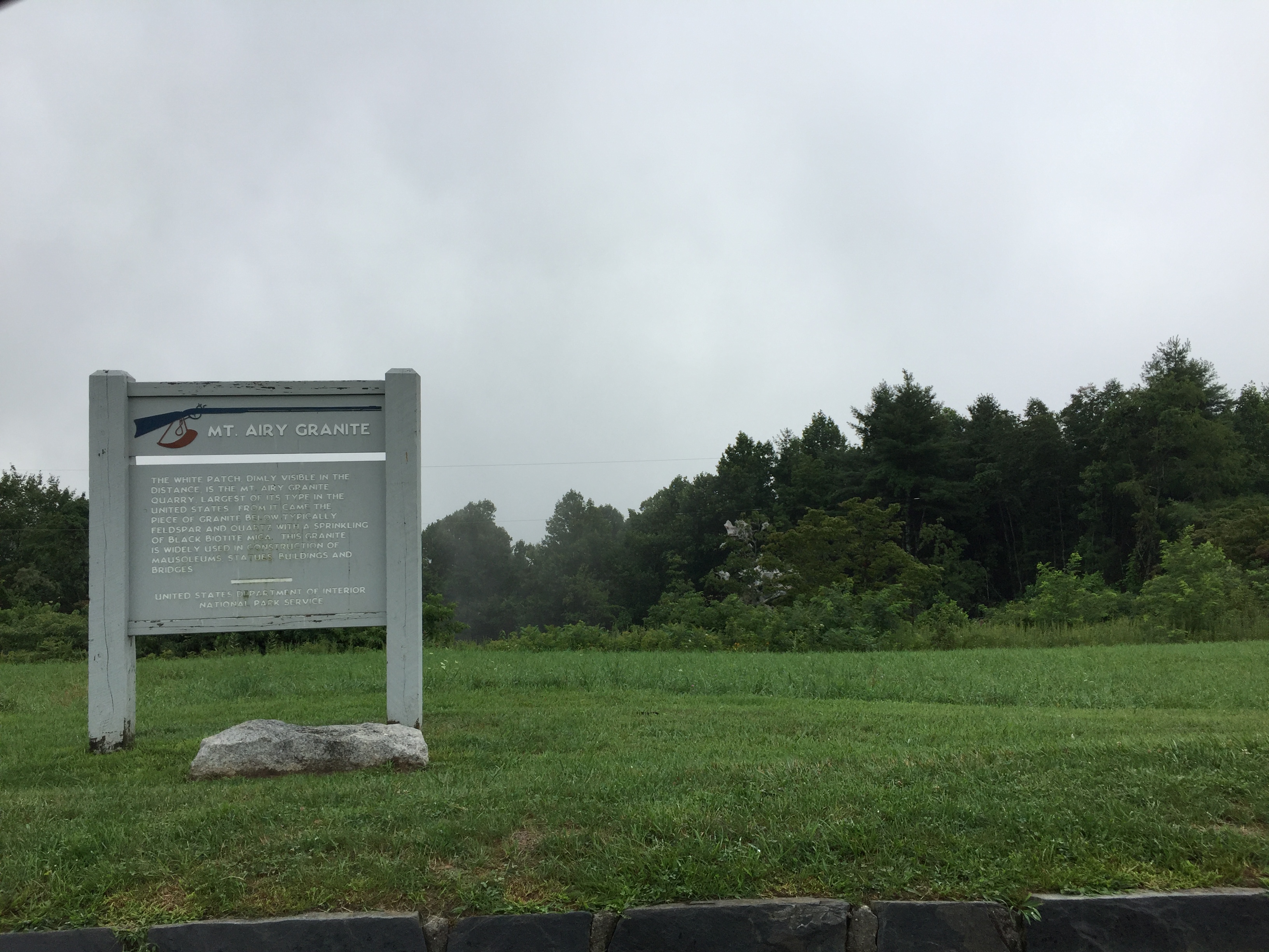
The first scenic overlook came shortly afterwards but I could tell I wasn’t going to be able to see much if I didn’t clear the clouds. As the sign indicated, I should have been able to see Mt. Airy in the far distance but beyond the line of trees a short 100 yards away, all was impenetrable clouds.
I recalled from my trip in 2010 that most of the scenic overlooks in Virginia were not as breath taking as those in North Carolina so I didn’t worry too much about not being able to see. I knew I would still enjoy the drive along this continuously winding road. A smile grew across my face as I drove, at a modest 44 miles per hour (Speed Limit is 45) setting the cruise and feeling a gentle increase in elevation.
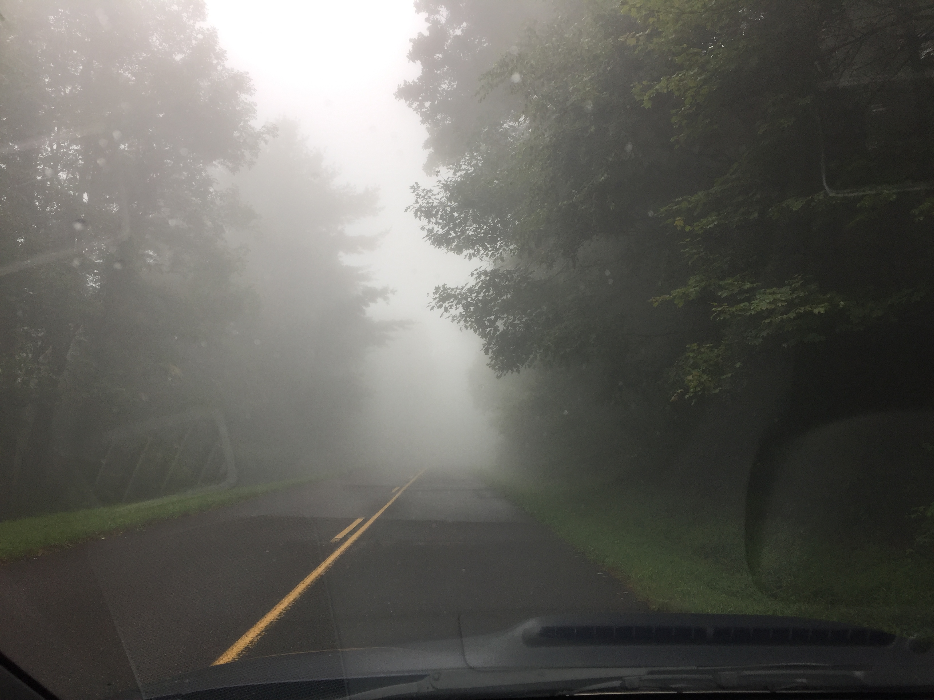
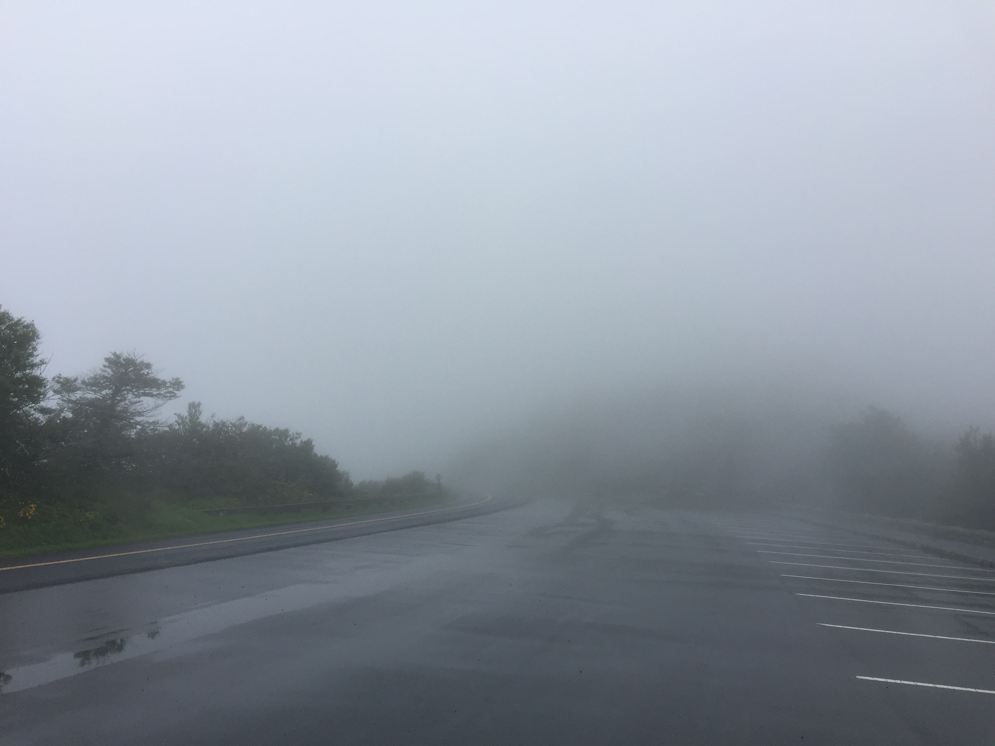
But as I climbed, the clouds got thicker and thicker until at one point, the view in front of me was a mere 100 feet. I cautiously slowed down to around 30 mph and was glad I did as I suddenly came across several deer trying to enter the road that couldn’t see me either. Next up was a wild turkey (not the kind in a bottle) and he frantically flapped off the road and into the woods as I passed by.
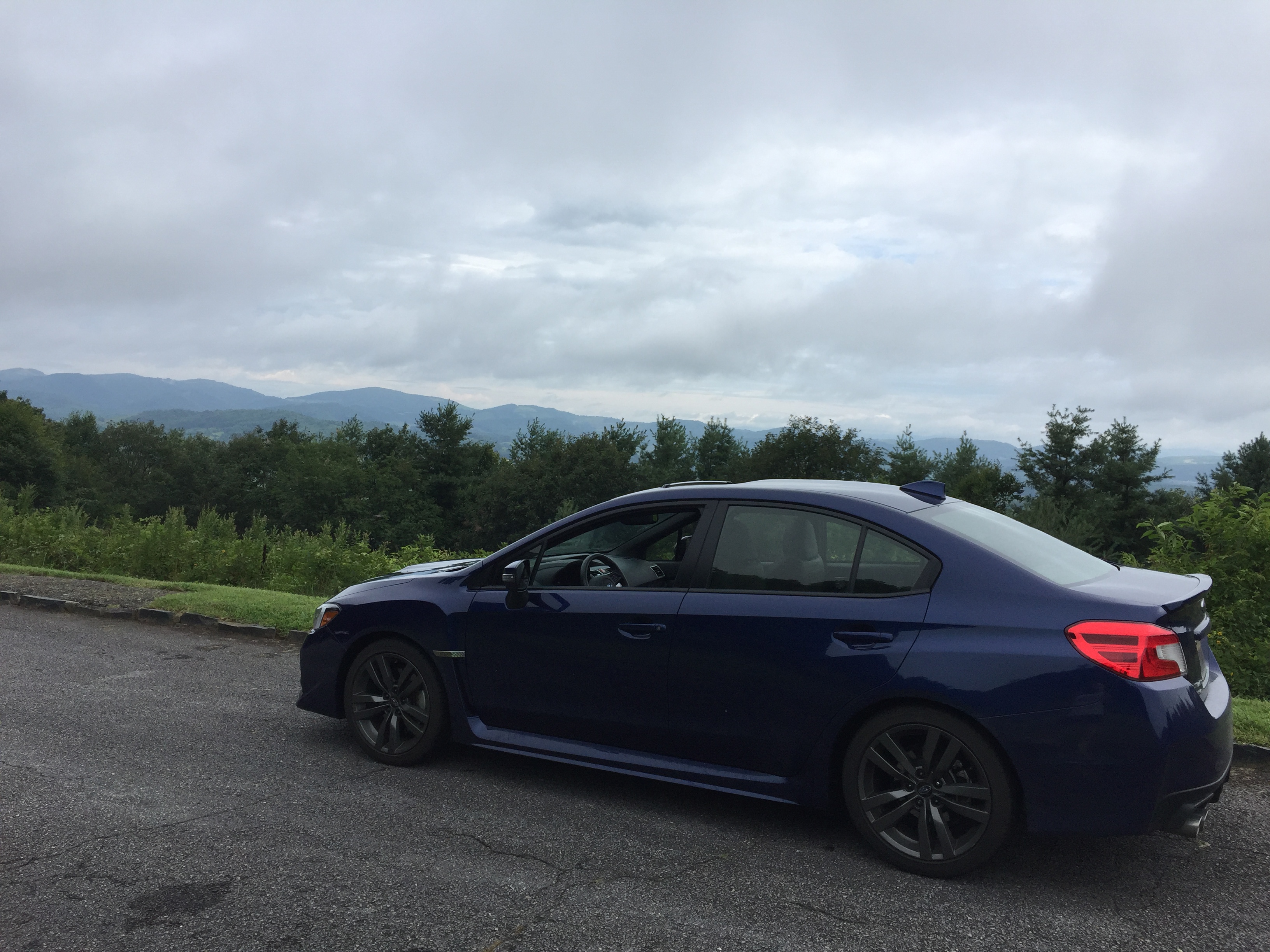
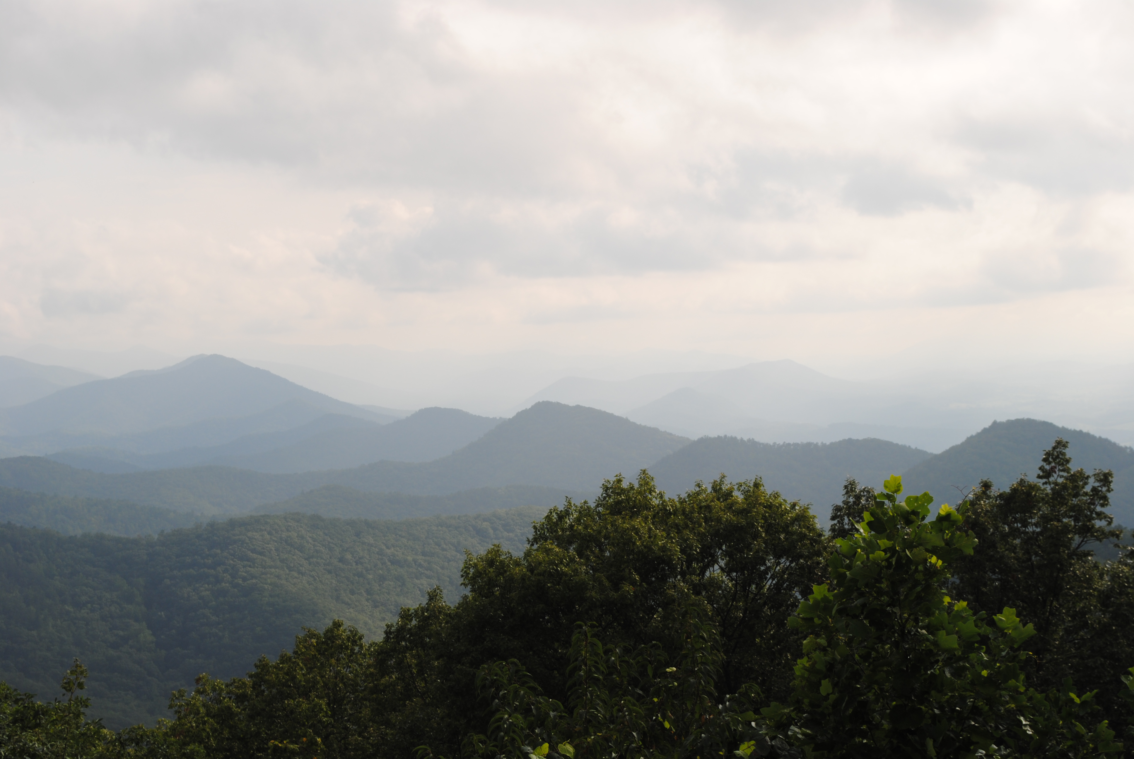
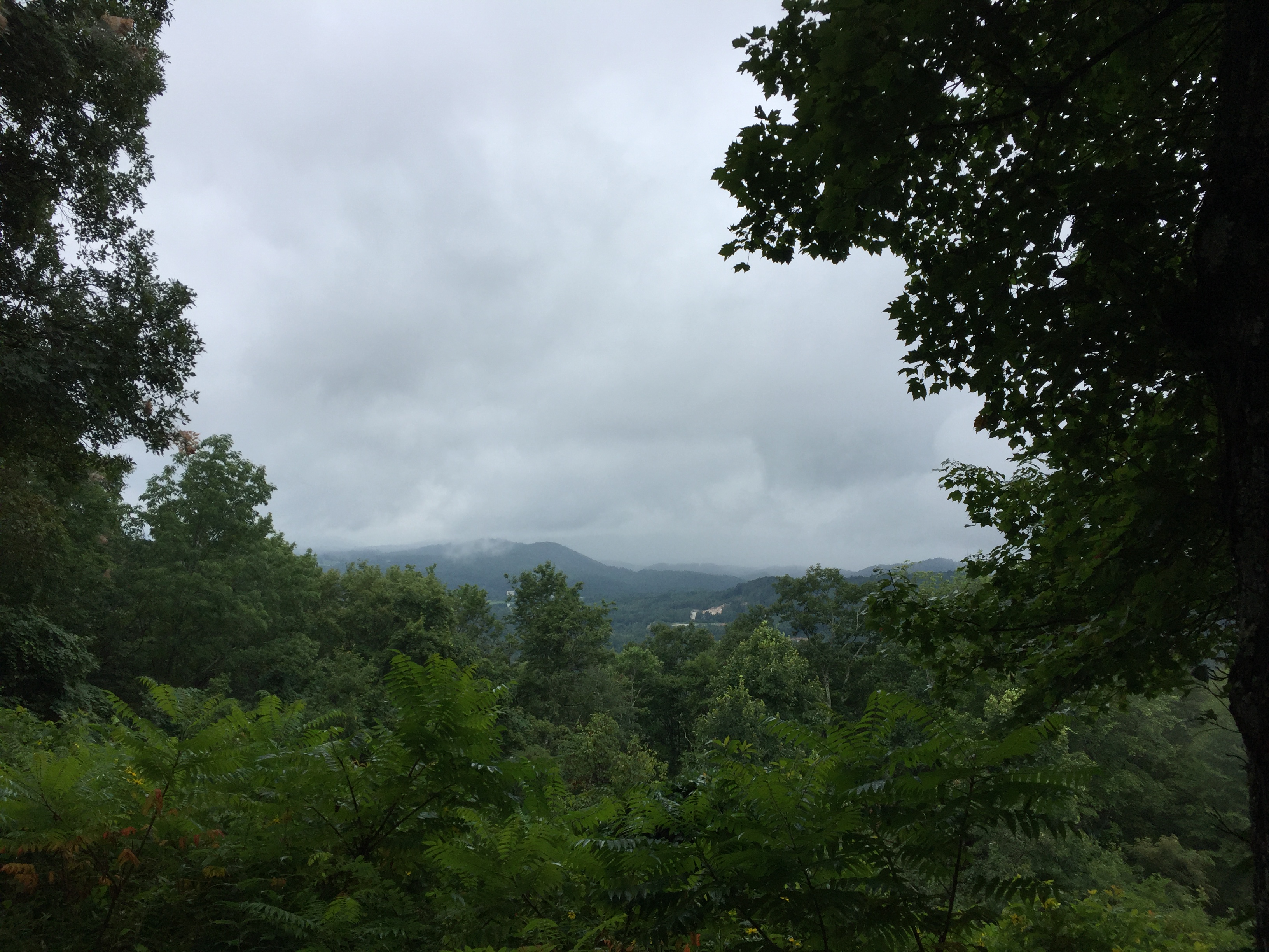
After driving for almost an hour, I finally broke through the clouds enough to at least get a view of the distant mountains with my car in the foreground. Out of the clouds, I rolled down the windows and opened the sunroof and just enjoyed the drive. As I got higher in the mountains, the air temperature got cooler and when it dipped below 65°F, I turned on my seat warmer rather than closing the windows. It was a thrill to enjoy steering my nice handling car on the ever-winding road.
But then it was back in the clouds off and on for another hour and a half of driving. There were periods where my visibility was limited to that 100-foot range for 5 to 10 miles at a time and then I would briefly break out into clear sky. As I entered another cloud, I noticed my shoulders tensing up somewhat so when I came across the Moses Cone Manor, I decided to stop and take a break. When I got inside the warmth of the building, I noticed that I was shivering.
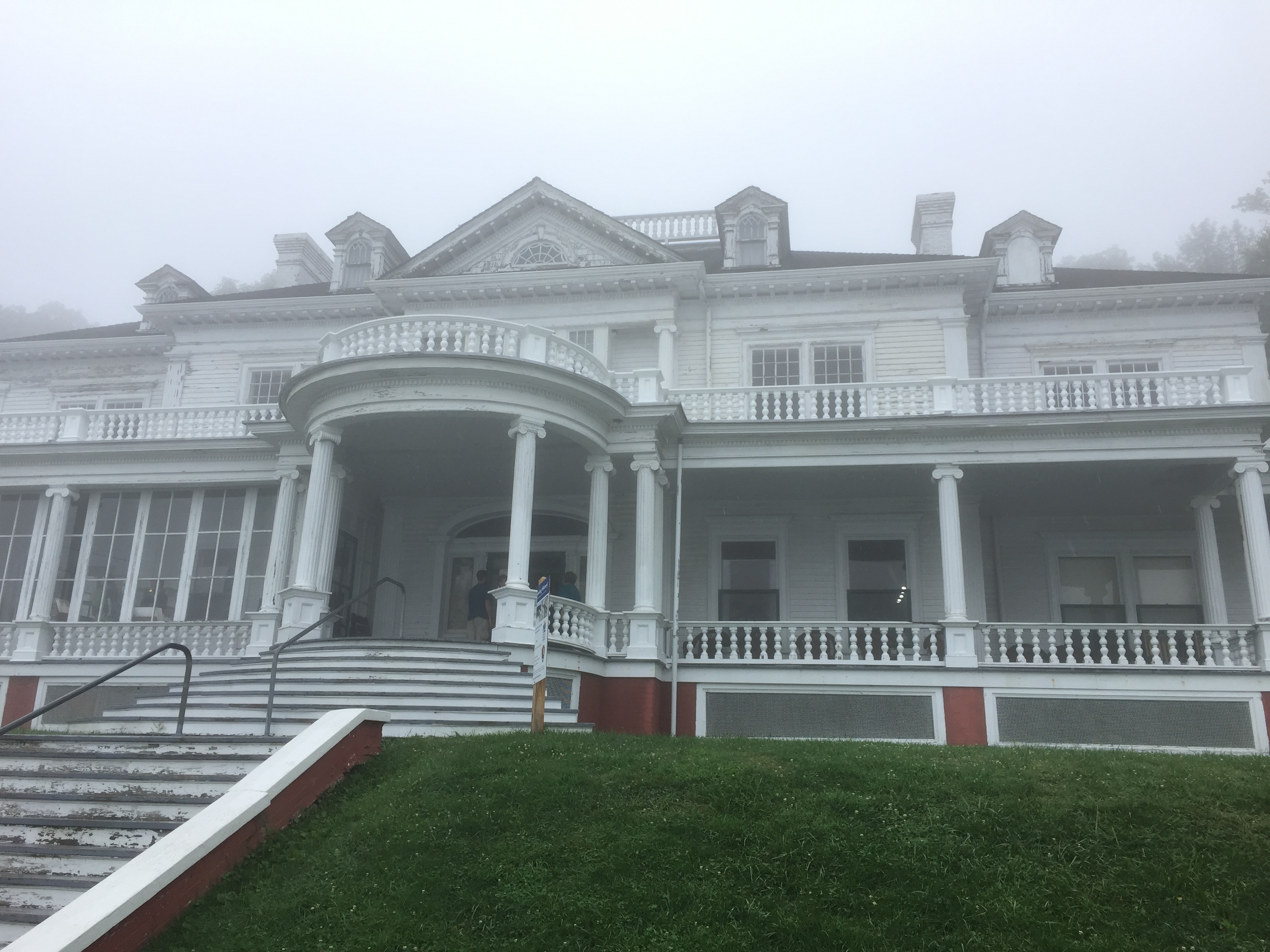
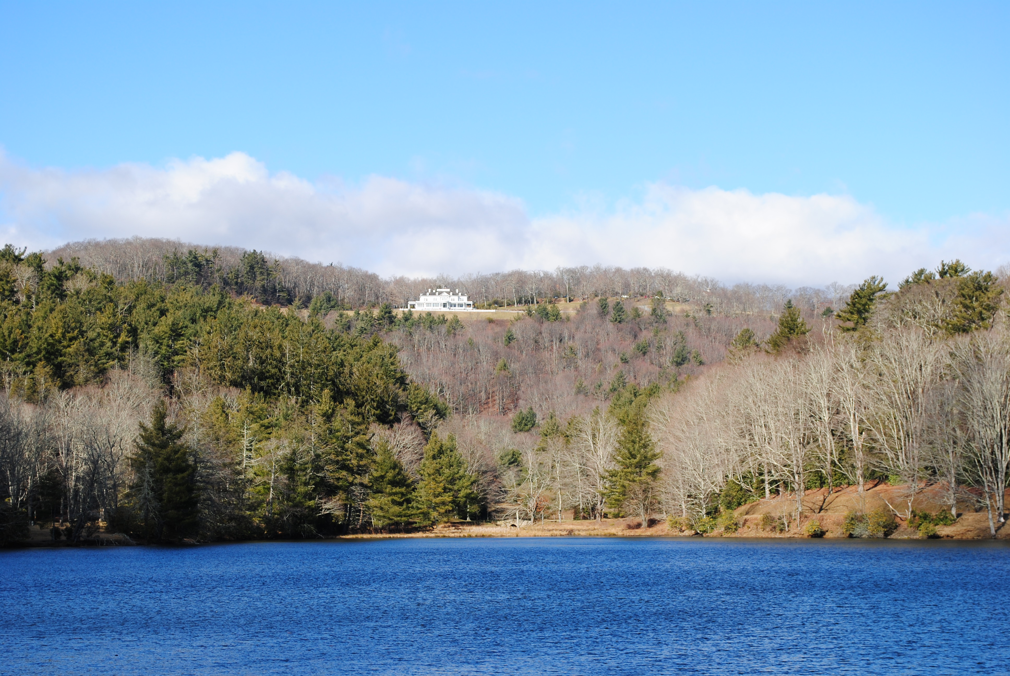
I had never been inside the mansion but I had seen it from below when we hiked with some friends.
In one room, a video was running and it reminded me that Moses was the wealthy brother of the two Cone sisters, whose extensive art exhibit my wife and I had visited in Baltimore a number of years ago.
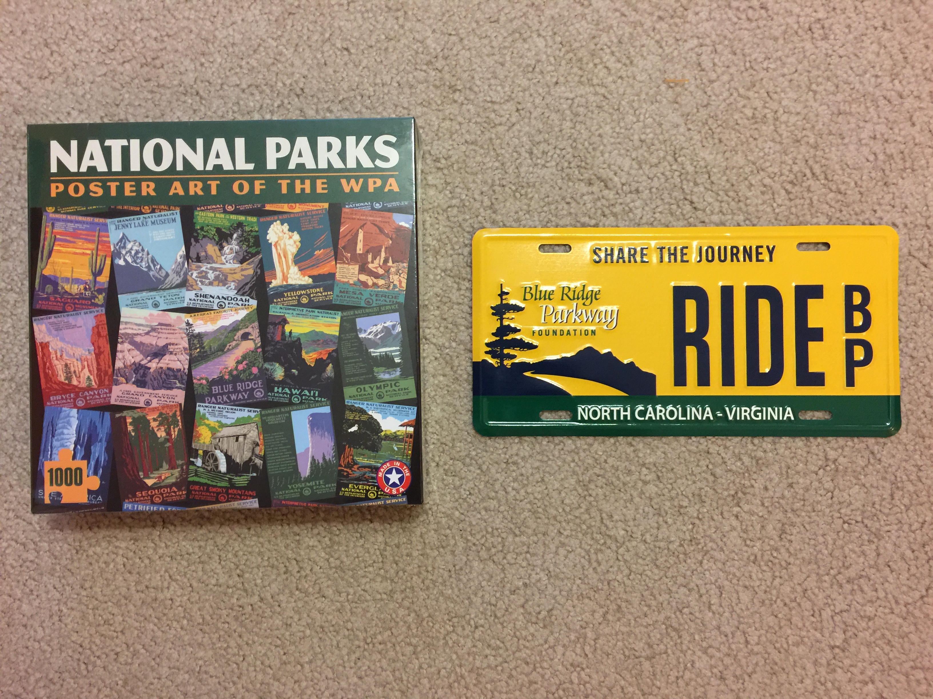
Inside the home was also a BRP gift shop where I found a really cool license plate and puzzle.
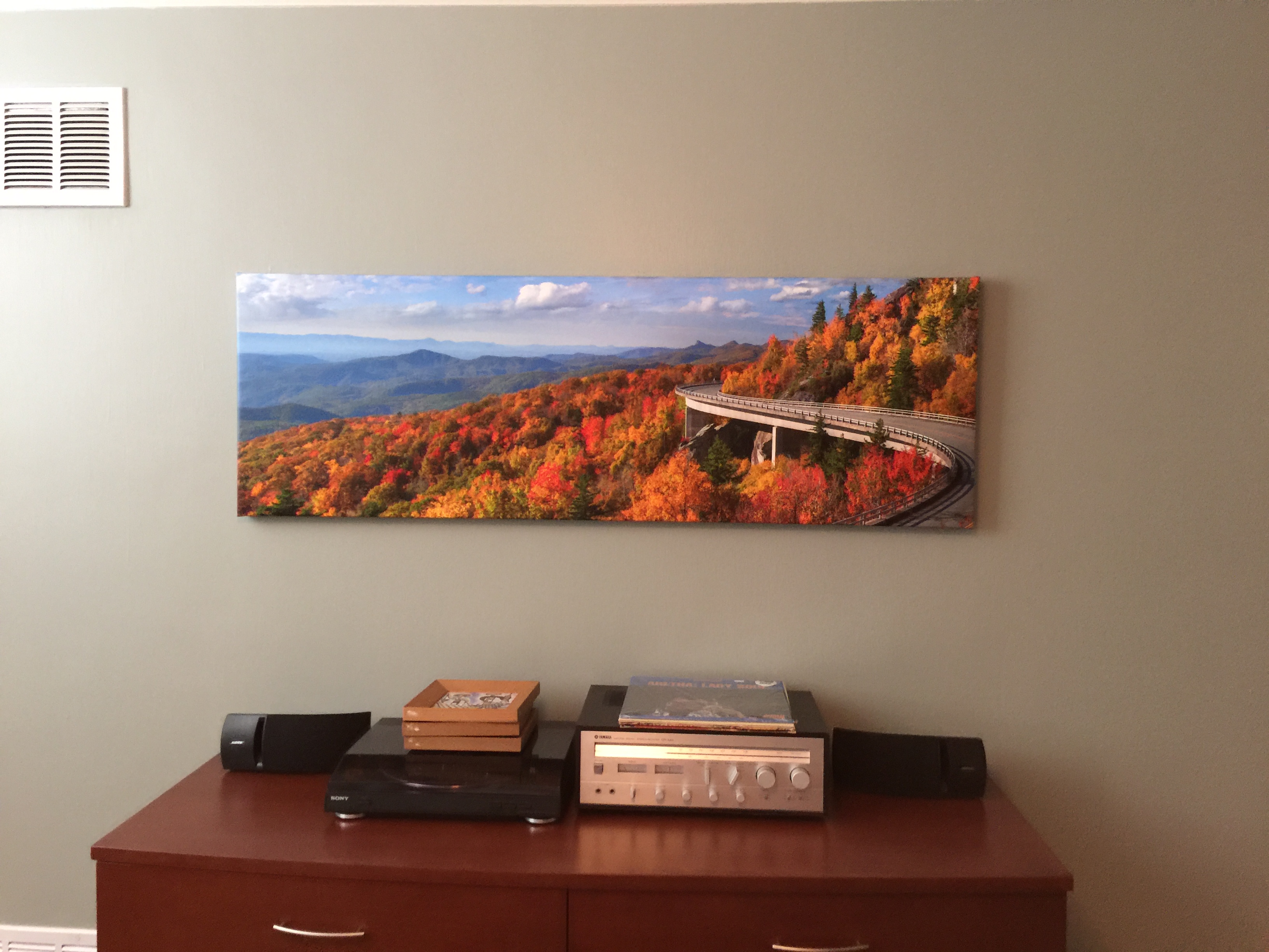
This portion of the BRP I had only driven on once before on my trip in 2010 so when I came across the iconic Linville Cove Aqueduct, it was a pleasant surprise. I had tried to photograph this before but never could get the right perspective and so settled on a professional photo that now hangs at our condo.
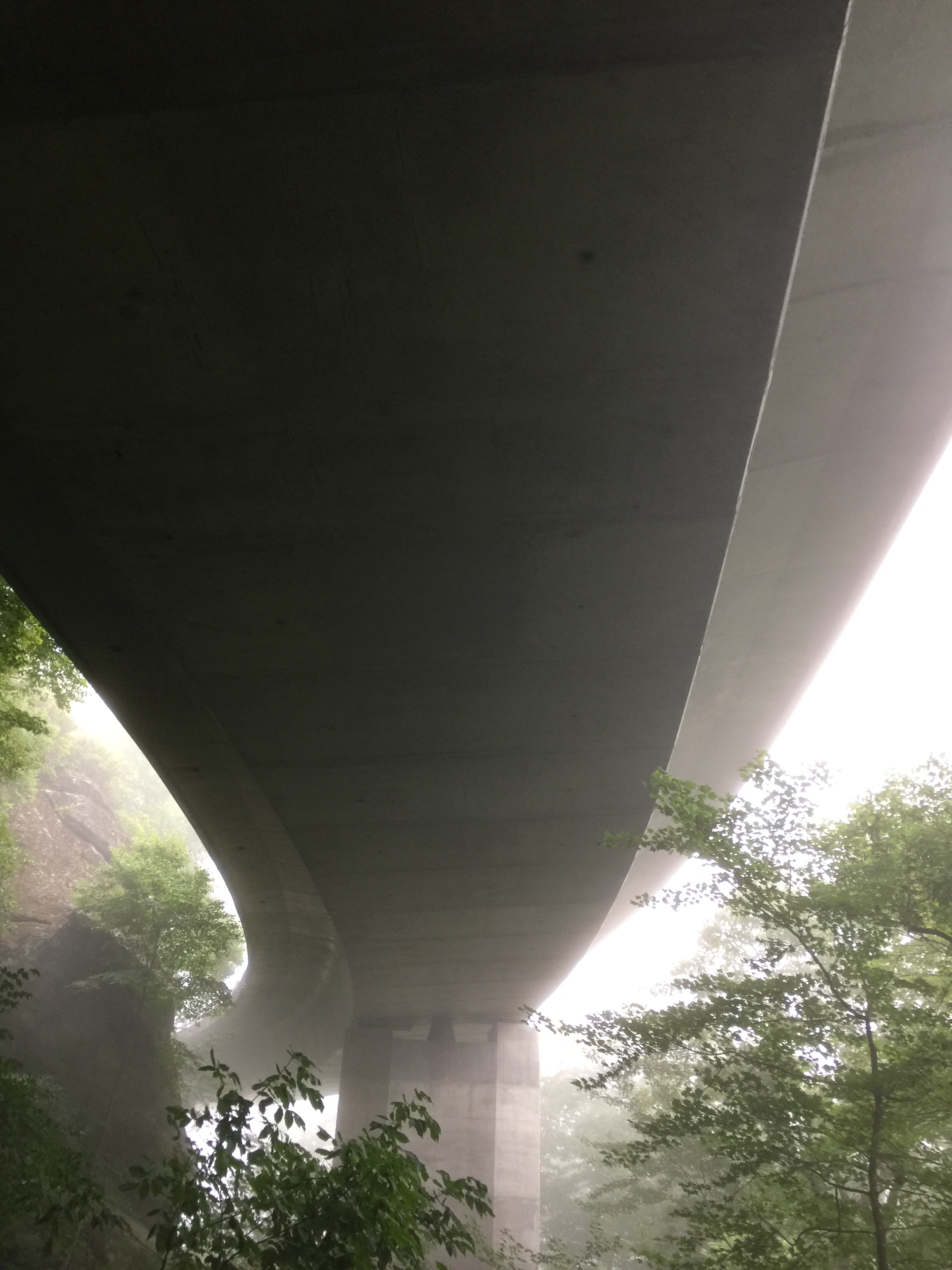
But on this trip, I couldn’t have gotten a picture of the whole bridge anyway due to the cloud cover. There was a hiking trail just past the bridge that lead to an observation deck but upon following the path, I found it only offered a view of the bottom of the bridge. But it still looked quite interesting peaking out among the cloud.
One of the overlooks I was most looking forward to was the one for Grandfather Mountain.
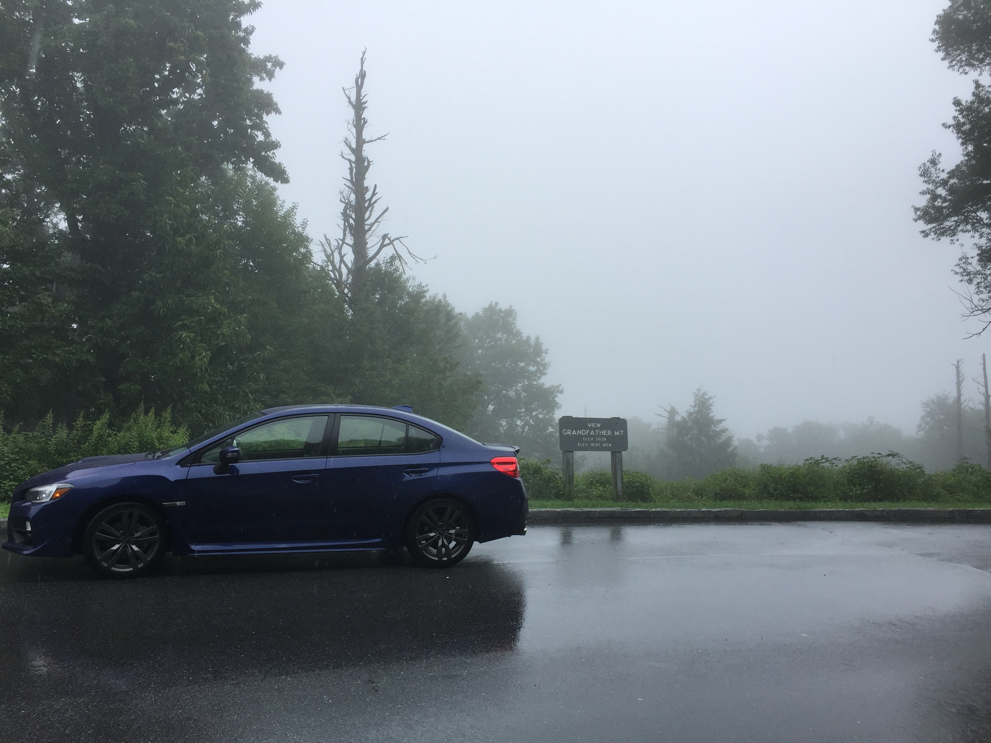
But again, it was completely hidden by the clouds.
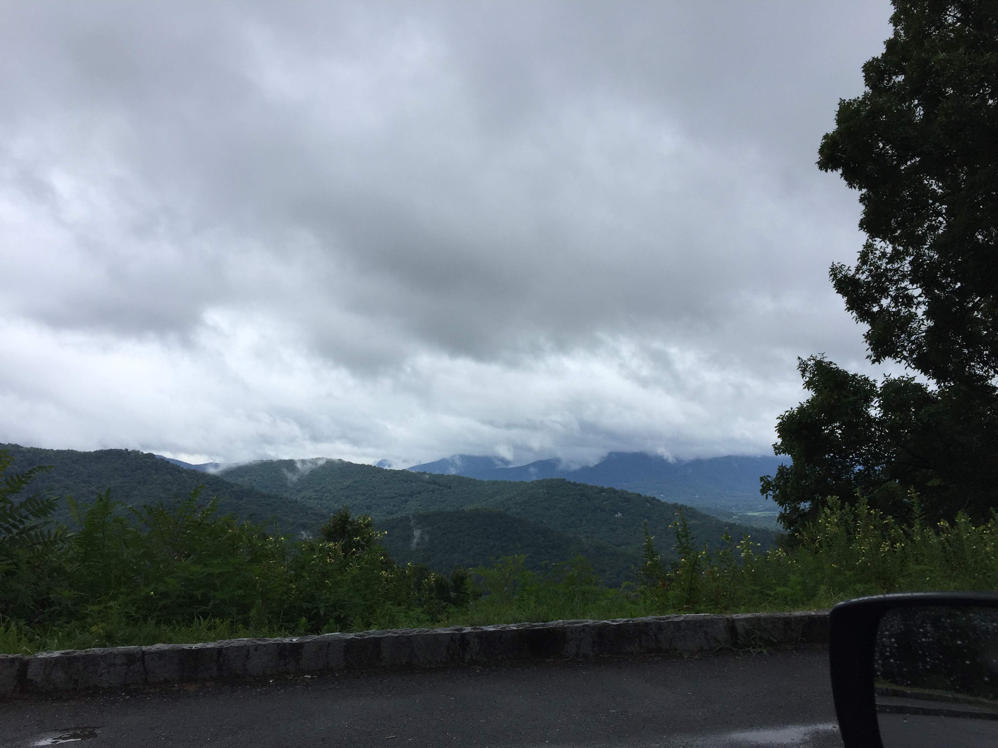
As I continued on this fun little road, I would occasionally be rewarded with a nice view.
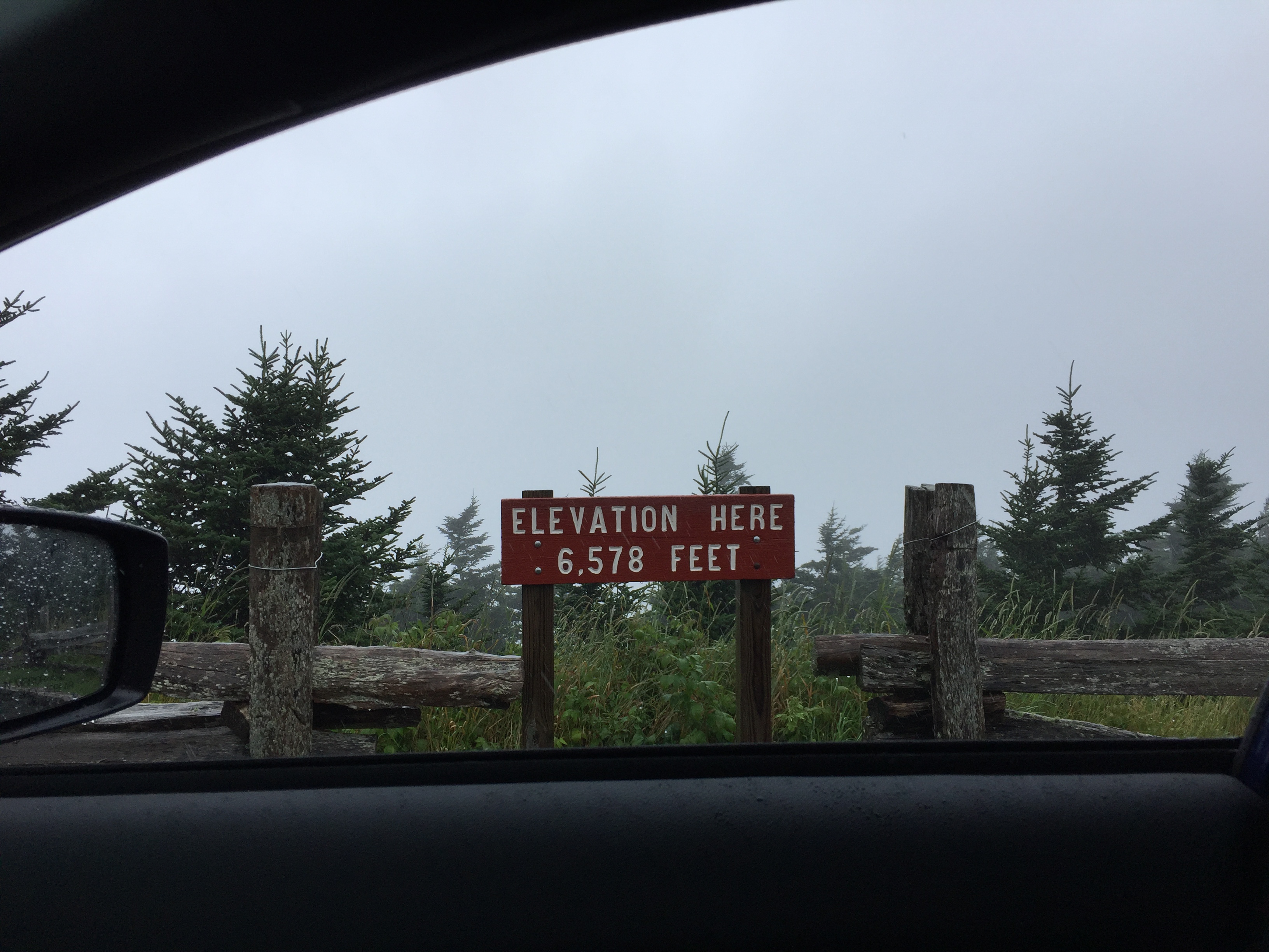
My last attempt to get above the clouds was to ascend Mt. Mitchell, the highest peak east of the Mississippi River. By this time, continuous rain was steadily coming down but as I rounded each switchback on the way to the summit, I could see the sky lighten somewhat and the rain slacking. But when I reached the summit, it was still in the rain and the view was only of cloud cover.
Descending from Mt. Mitchell and passing through cloud-covered Craggy Gardens…
…I knew my ride on the BRP was almost over. Just before reaching Asheville, I finally came down out of the clouds enough to get a distant view and a glimpse of why they’re called the Smokey Mountains.
Overall, I drove about 250 miles during the day. It was most exciting to learn that the BRP entrance was only 50 miles north of my sister-in-law’s home, which for me would be like driving from my home in Memphis to Jackson, TN and then being on the BRP. If I lived that close, I’d drive it every month. It wasn’t with sadness that I steered off the parkway for I had another fun place to drive to…
To Be Continued…
Categories
